Complete Visual Documentation for Construction Projects
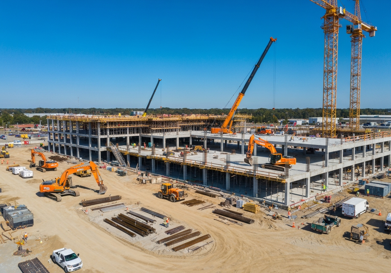
Construction services include preconstruction documentation, recurring progress captures, aerial photography, mapping, 360-degree walkthroughs, stockpile measurements, and post-construction records. From the first site survey to the final walkthrough, our drones provide the visual and spatial data your team needs to stay informed and on schedule.
The Value of Aerial Construction Documentation
Regular drone flights deliver measurable benefits across the project lifecycle:
Preconstruction Documentation Capture existing site conditions before breaking ground to establish a clear baseline.
Recurring Progress Captures Track milestones with scheduled aerial photography and video for stakeholders and investors.
Stockpile & Volume Measurements Quantify materials quickly and accurately with drone mapping and volumetric analysis.
Construction Deliverables
We tailor each flight program to the needs of your project:
Progress Tracking
Consistent weekly or monthly flights to document changes and communicate status.
360-Degree Walkthroughs
Immersive site documentation that lets remote stakeholders explore conditions from anywhere.
Where Aerial Imaging Pays Off
- Win more work with aerial imagery used in pre-planning, proposals, and presentations
- Survey existing job site conditions for logistics planning and better estimating
- Improve owner visibility and speed approvals during financing and permitting
- Monitor progress against schedule and manage assets and laydown areas more efficiently
- Make distance, area, and volume calculations across large sites
- Identify defects earlier, including in hard-to-reach places, minimizing rework
- Improve safety and reduce dispute exposure by documenting site conditions and hazards
Reality Capture
Documenting and creating digital twins of different milestones of the construction project preserves the key moments of the project's development. Each capture builds an accurate, measurable 3D record of the site as it stood on that day — a permanent archive you can revisit, measure, and share for years after the work is complete.
360-Degree Camera Walks — Exterior & Interior
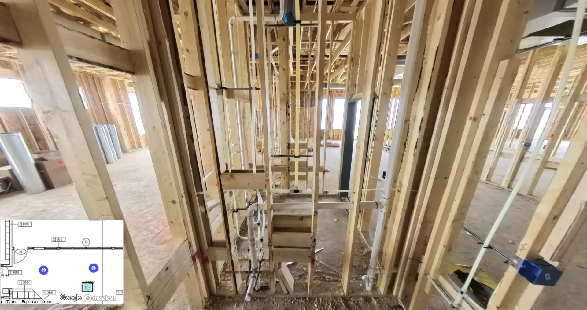
360-degree camera walks of the exterior and interior document existing conditions in full. Walk the site virtually from anywhere, and capture every wall, pipe, and conduit while it is still visible. Document all Mechanical, Electrical, and Plumbing (MEP) before drywall is installed, so the location of every system is permanently recorded behind the finished walls.
Every Capture Tied to the Floor Plan
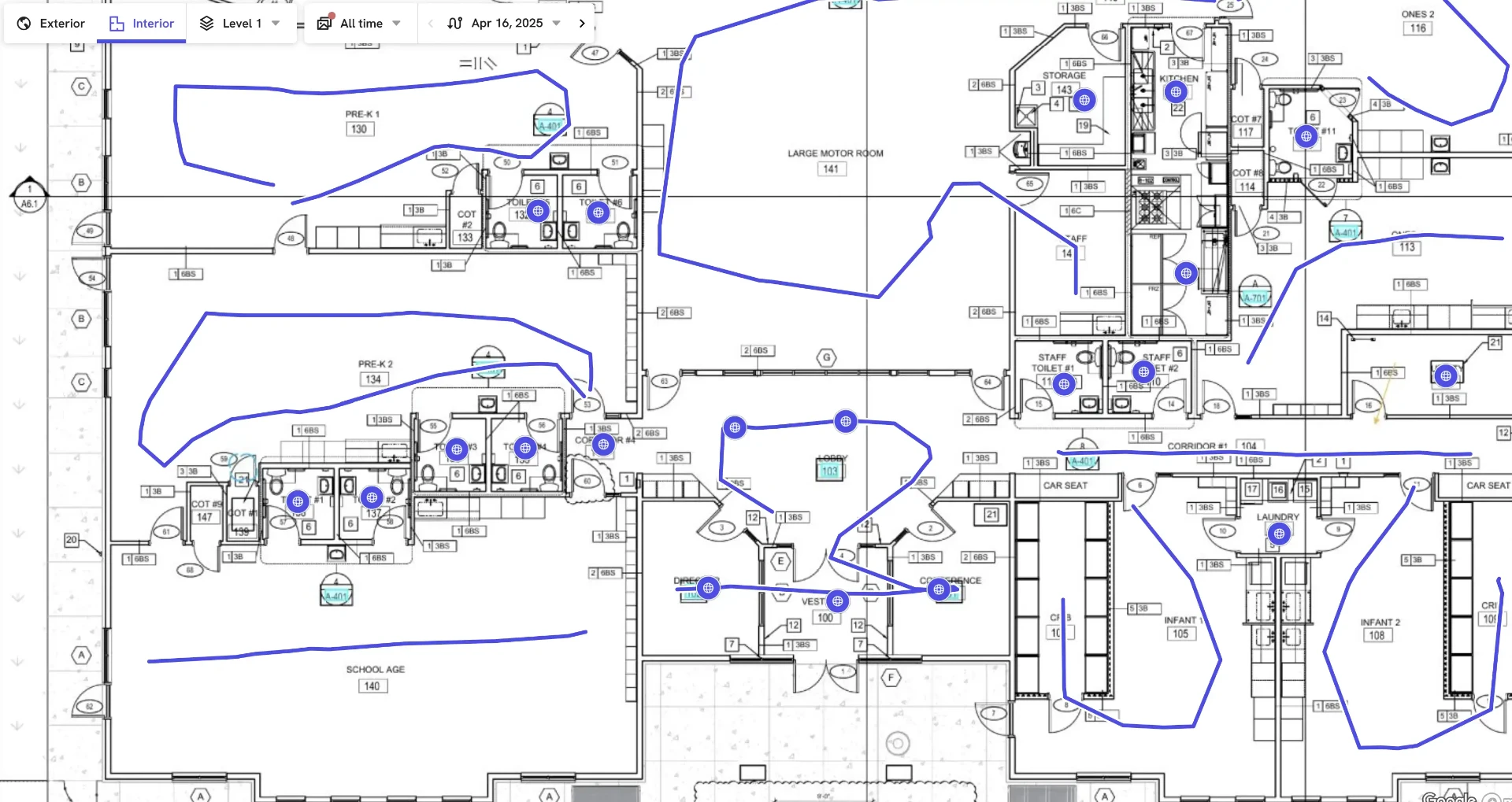
Each 360 camera position is mapped to the building's floor plan, so anyone on the team can jump from the plan to the exact viewpoint and see what existed behind every wall on that date — an invaluable record for disputes, warranty work, remodels, and future maintenance.
Drone Volumetrics
Volumetric flights produce accurate measurements of stockpiles and excavations, along with data that supports cut-and-fill analysis against your design. Gathering the same numbers on foot can be labor-intensive and, on steep or active piles, genuinely risky. Flying the site removes that tradeoff between good data and crew safety on construction, aggregate, and mining sites alike.
A Visual History of the Project
Recurring captures give the project team a continuous visual record of construction and excavation progress. For owners, lenders, and stakeholders who cannot visit regularly, that record is the clearest way to show exactly where the job stands, and at closeout it becomes documentation of everything that was covered, buried, or built over.
Licensed, Insured, and Safety-Focused
Construction sites are complex and hazardous environments. As an FAA Part 107 licensed and fully insured drone operator, we prioritize safety above all else. We coordinate with site superintendents to ensure our flights do not disrupt ongoing work while capturing the critical data you need.