Accurate Aerial Data for Surveying & Mapping
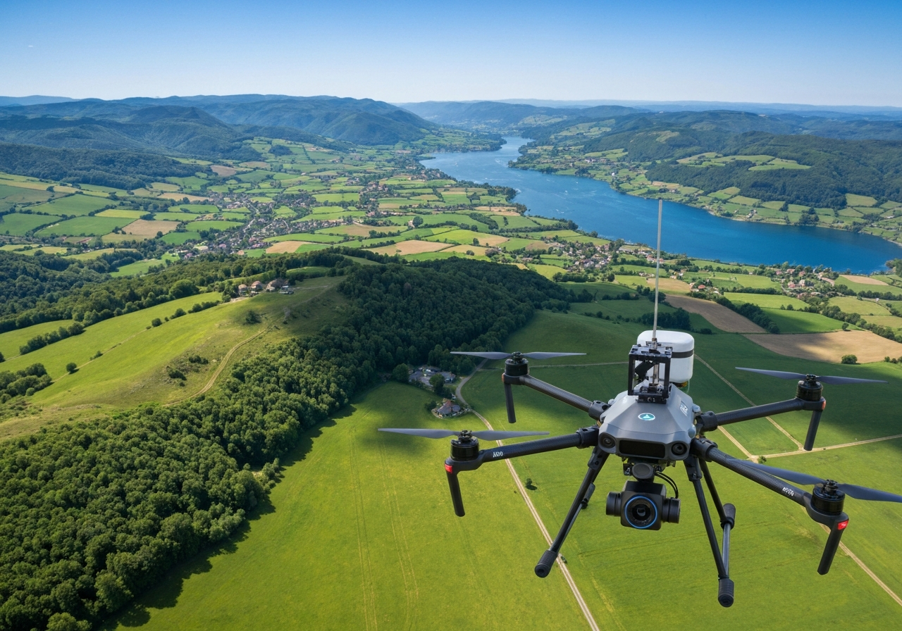
Surveying & Mapping Support services provide aerial data collection and mapping products for construction, engineering, planning, and land-management applications. Deliverables may include orthomosaic maps, elevation data, contours, 3D models, point clouds, and volume measurements, all captured efficiently from the air.
The Value of Aerial Surveying Support
Our drone surveying services help teams gather spatial data faster and more safely than traditional ground-only methods:
Comprehensive Deliverables Orthomosaics, elevation data, contours, 3D models, point clouds, and volume measurements.
Faster Data Collection Cover large sites in a fraction of the time required by traditional ground-based methods.
Survey-Grade Accuracy RTK positioning and surveyed ground control points achieve sub-inch accuracy for engineering and planning workflows.
Surveying & Mapping Applications
Our deliverables integrate into a wide range of professional workflows:
Orthomosaic Mapping
High-resolution, georeferenced 2D maps suitable for measurement, planning, and documentation.
Topographic & Volumetric Surveys
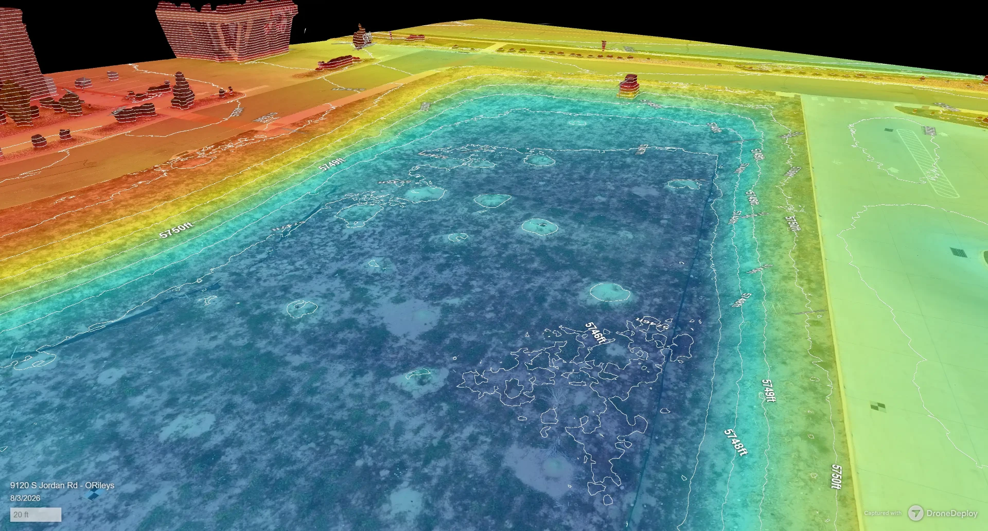
Elevation contours, cut/fill analysis, and stockpile measurements for earthwork and resource management.
Completed in Days, Not Weeks
Drones speed up land surveying and mapping while maintaining a high level of precision and accuracy. From a single parcel to thousands of acres, we can deliver imaging data directly to you or partner with your surveyor, engineer, or architect to augment their work, lower cost, and shorten schedules. Ground control and RTK positioning are used where absolute accuracy matters.
RTK Positioning & Ground Control Points
Accuracy is engineered into every flight, not added afterward. Our aircraft use Real-Time Kinematic (RTK) positioning to correct location errors in real time, and we establish surveyed Ground Control Points (GCPs) across the site before capture. Combining RTK corrections with GCPs anchors the imagery to known coordinates and allows us to achieve and verify sub-inch accuracy in the final data, so maps, models, and measurements hold up to engineering and construction scrutiny.
Cut/Fill Analysis & Earthworks Support
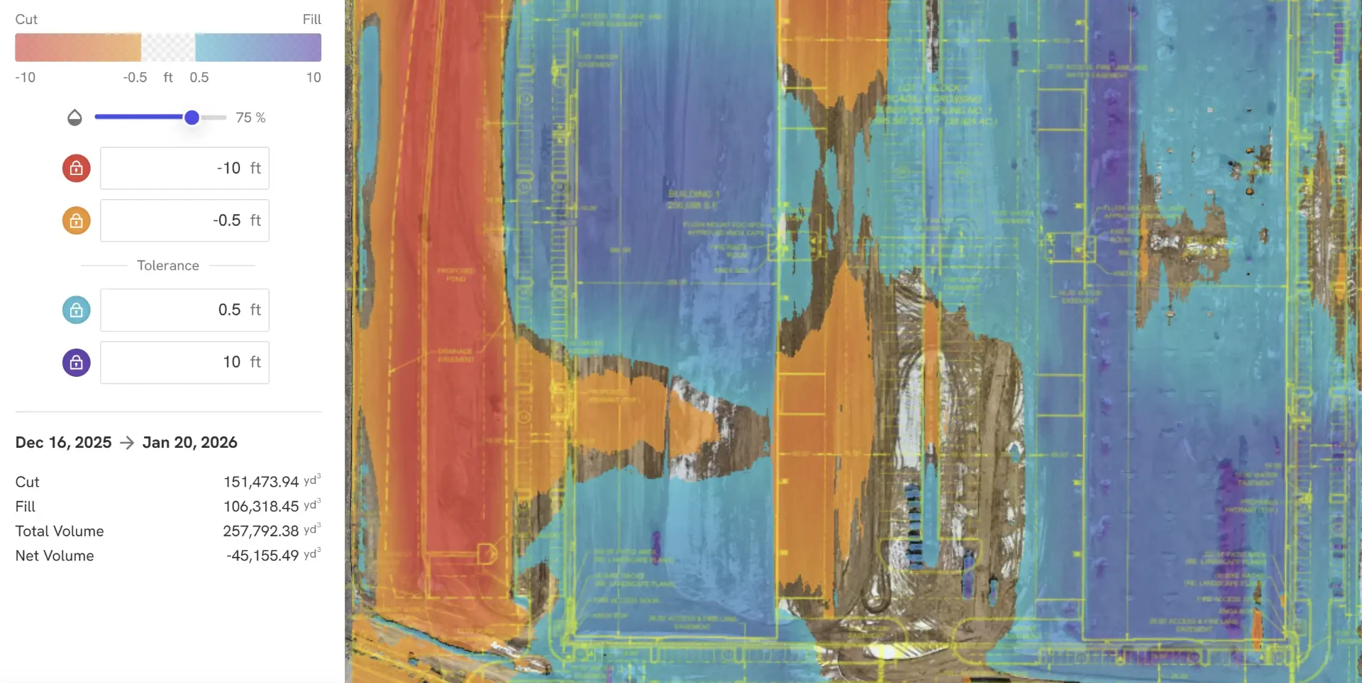
For grading and earthwork projects, we compare the current terrain surface against your design grade, previous captures, or both. The result is a color-coded cut/fill map that shows exactly where material must be removed or added, with volume totals quantified in cubic yards. Cut, fill, and net volume figures help you track progress against plan, verify pay quantities, balance earthwork across the site, and avoid costly over- or under-excavation.
Work Products Our Image Data Supports
- Orthomosaics: a single high-resolution, orthorectified image of the whole site where horizontal distances can be measured and coordinates identified at any point
- Topographic surveys: digital elevation models, digital surface and terrain models, and surface contour maps
- 3D models: point clouds and mesh models for visualization, measurement, and superimposing CAD designs on existing site conditions
- Volumetrics: stockpile and excavation quantities with cut-and-fill comparison against design
Working Alongside Your Land Surveyor
We are not a registered land surveying firm. When a certified product is required, we partner with a licensed land surveyor, including your own, whose data collection and seal make the deliverable valid for legal and engineering purposes. Our survey-grade imaging helps a surveyor cover large areas in far less time; it does not replace their certification of the final work product.
Integrated with CAD & GIS Workflows
We deliver data in standard formats ready for AutoCAD, Civil 3D, ArcGIS, and other industry platforms. Whether you need a one-time survey or ongoing mapping support, Skywalker Drone Imagery provides reliable aerial data you can trust.